
Byte Road is a consulting and R&D company, operating in the fields of data engineering and data analytics. Our team is made by experts from different backgrounds, from software development to data analytics, who moved towards a common goal: to create solutions in line with open standards, accessibility and privacy by design.
We are deeply committed to making geospatial information Findable, Accessible, Interoperable and Reusable , and to empower users with software that respects their freedoms . We leverage open standards, free and open source software, cloud computing, software containers, SQL and NoSQL databases, to pave roads that connect users to their data assets. We are a diverse and inclusive company, which supports the #SDG goals.
 |

|
 |
|
Registered participant
pic: 898232514
|
Registered SME
1000031944
|
The institutional Work Package “Blue Economy” (7630, BluEco), and the embedded administrative arrangement with MARE (CON-AA 35073) assist the European Commission in creating a robust scientific knowledge base that will underpin the Blue Economy strategy and policy framework for the European Union, in close collaboration with DG MARE and other Policy DGs.
Most of the data used in the report is only available at Member State level, which implies that the current regional estimates done by DG MARE are quite controversial.
This work, commissioned by the JRC , included the development of a database that ensures a more robust disaggregation of national data to the region level, as well as an aggregation of data by port into regions (NUTS 2 and NUTS 3).
Large volumes of geotagged network data, are generated everyday using sensor devices. If processed, these data could have an important impact in location assessment and network design and planning.
The main goal of Teragence was to identify Areas of Coverage (AoC) of telco antennas, within a large volume of noisy, point data. This brought two technological challenges: to find an algorithm that enabled us to detect the AoC, discarding the points which are not relevant; and to run this algorithm at scale, processing a large dataset, which covers the entire UK. The two challenges were tackled using a stack of FOSS.
The resulting application was virtualised into a set of docker containers, and deployed on the AWS cloud, where the processing took place.
The results of this project were presented in FOSS4GUK 2020.
Understanding the interaction between people and urban spaces is key to finding ways to enhance citizens' health. In particular, the signals generated in our neurobiological architecture, which controls our emotions and decisions, during this interaction may provide invaluable insights.
The eMOTIONAL Cities project - funded under the H2020-EU Programme, with grant agreement 945307 - will characterise the urban health challenges and inequalities. Its work will lead to innovative eMOTIONAL city mapping that will be produced from spatial analysis on social and health data and neuroscience experiments. To do this, the project will draw on urban planning and design, neuroscience, and data science and technology.
The spatial data infrastructure (SDI) developed in WP3 - led by ByteRoad - will establish an ecosystem of open-standards for hardware, software and cloud infrastructure that will be positioned to become a reference for subsequent research on the future of cities, neuroscience and beyond.

(He/him/his)
Data Engineer
One first step in the right direction can make a big difference. However, that first step, repeated in an infinite loop, will never do what you'd expect and will probably crash a server. Fascinated by the philosophical depths of computer science, Antonio embarked on this captivating journey. He lets himself be guided by faith in open and F.A.I.R. solutions, so he never gets lost. He's always happy to give directions (to convert) to other travelers in need (...lost souls?).

(She/her/hers)
Founder
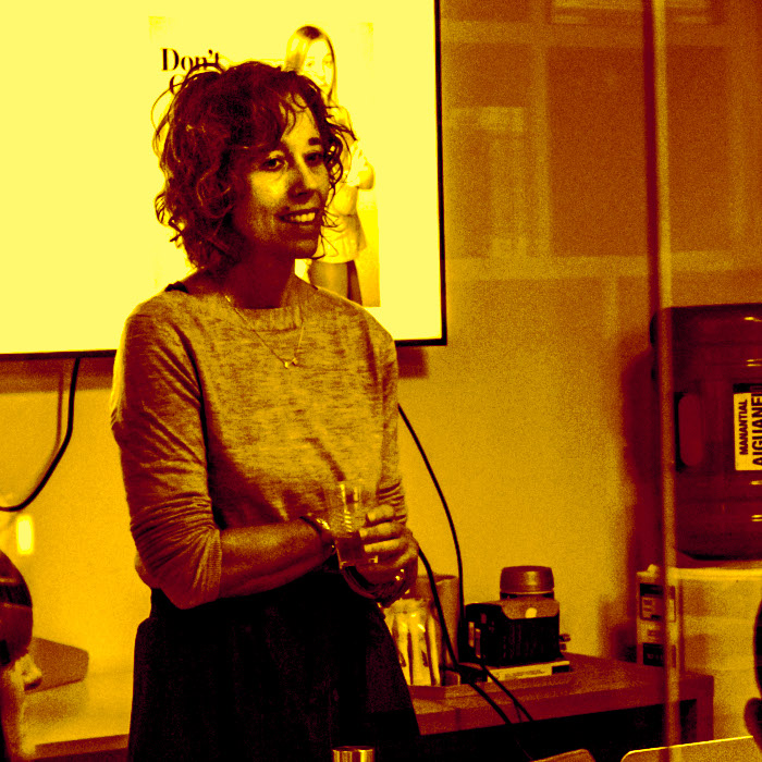
Joana started coding in BASIC, with a SPECTRUM 128K. Many years later she fell in love with GIS, and ended up doing a Ph.D in geospatial analysis, which was really an excuse to learn more about spatial indexing algorithms and become fluent in C++. Joana could not decide between being a data scientist and a data engineer, so she decided to become both. When she’s not playing with data you can find her running, biking, surfing or working on her own free and open source projects.

(She/her/hers)
Data Scientist
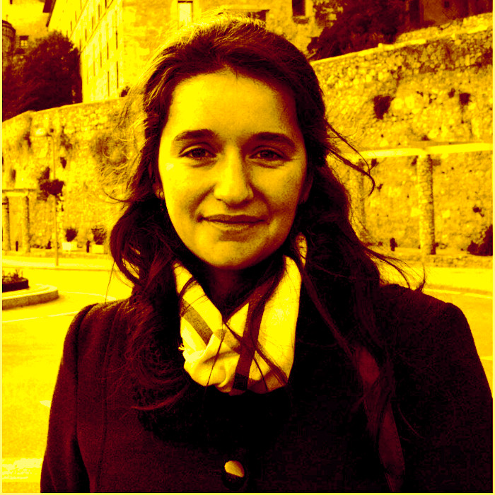
Filipa fell in love with machine learning during her undergrad, and this passion drove her decision to pursue a Ph.D in Sentiment Analysis, Reputation Systems and Recommendation algorithms. Her research interests include Social Network Analysis, Natural Language Processing and Sentiment Analysis. Although she is normally quiet, her headphones are often playing loud indie rock or new metal music. In the rare moments when she is not doing or teaching data science, she enjoys playing with her cat.